
Description
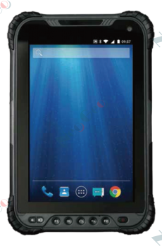
CARLSON SURVCE | SURVPC Mobile software for the professional surveyor
OVERVIEW
There’s a reason surveyors make Carlson their first choice in data collection software. SurvCE (for Windows Mobile) and SurvPC (for Windows) combines advanced functionality, ease-of-use, and cutting-edge features with excellent service and award-winning technical support.
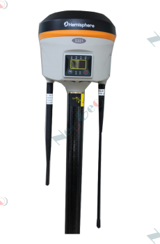
Both SurvCE and SurvPC support the widest range of popular and newly released RTK GPS and conventional and robotic total stations, putting the power of Carlson’s in-field coordinate geometry at your fingertips.
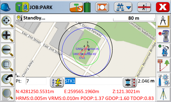
• Enhanced Search icon now available in all live survey screens with access to multiple search methods for TS/RTS
• Voice prompting In Stakeout allows users to keep their eyes on the environment while staking
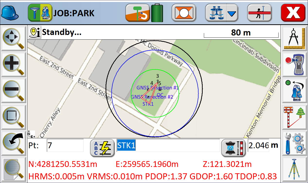
• Google, Open Street Maps, Esri® Maps, and your own
WMS overlays are now available in the field
• GIS Inspector allows instant access to GIS attributing in the map screen
• Surface Inspector enables easy comparison of plan vs. as-built in elevation difference, making it simpler to store and stake the points that matter
• Obstructed Point Stakeout allows guided staking of unreachable points by marking azimuth and distance
• Automatic Backsight Check in the joystick screen makes it easier to check your setup at any time
• GPS Tolerance Band instantly indicates when tolerance is exceeded in live survey screens