
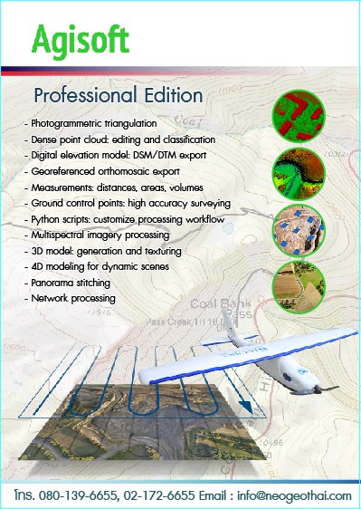
Description
Professional Edition
- Photogrammetric triagulation
- Dense point cloud : editing and classification
- Digital elevation model : DSM/DTM export
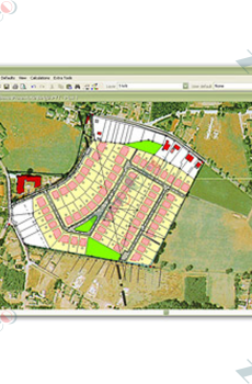
- Georeferenced orthomosaic export
- Measurements : Distances, areas, volumes
- Ground control points : high accuracy surveying
- Python scripts : customize processing workflow
- Multispectral imagery processing
- 3D model : generation and texturing
- 4D Modeling for dynamic scenes
- Panorama stitching
- Network Processing